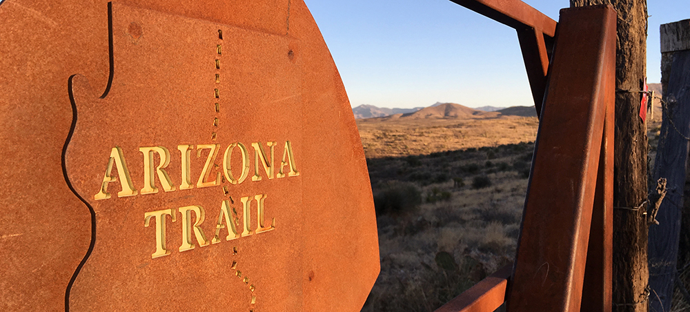

World Atlas (July 1, 2021) Arizona is located in the southwestern region of the United States. The State has diverse geography featuring volcanoes, mountains, canyons, plateaus, and deserts. Situated in the central part of the US State of Arizona, mostly within Gila County is the majestic Theodore Roosevelt Lake. This large lake is located in the Salt River Valley about 130km to the northeast of Phoenix – the State’s capital city, and 6km upstream from Apache Lake. The Theodore Roosevelt Lake was formed as a result of the construction of the Theodore Roosevelt Dam on the Salt River, as a part of the Salt River Project. Geography The Theodore Roosevelt Lake occupies an area of 21,493 acres and is considered the largest lake that is situated fully within the boundaries of the US State of Arizona. It is also the largest among the four lakes that were created as a part of the Salt River Project. The Lake has a length of 35.8km and has a maximum width of 3.2km. The Lake is situated at an elevation of 638m and reaches a maximum depth of 106m. The Lake receives its primary water inflows from the Salt River and the Tonto Creek....
Read More
Location
- Vineyard Trailhead to Lone Pine Saddle
Length
- 19.0 miles
Southern Trailhead: Vineyard Trailhead
- GPS Coordinates: 33.67650° N, 111.16104° W
Access
This is near Theodore Roosevelt Dam, where AZ 88 and AZ 188 meet. The parking area is at the north end of the suspension bridge, on the east side of the highway.
Northern Trailhead: Pigeon Spring/Lone Pine Saddle Trailhead
- GPS Coordinates: 33.71095° N, 111.33618° W
Access
From the suspension bridge near Roosevelt Dam, drive north on AZ 188 for 11 miles and turn left (west) at mile marker 255 onto El Oso Road. At 4.4 miles from the highway, the road appears to fork. Take the sharp right turn and follow the road as it climbs. Continue another 4.2 miles to an intersection with FR 422, which is the path of the AZT to the north. The AZT arrives from the southeast (left) on FR 143. Drive 1 mile on FR 143 to an intersection, bear left onto FR 648, and continue almost another mile to Pigeon Spring Trailhead on the left.
Alternatively, to reach a larger, more developed parking area and trailhead at Lone Pine Saddle, continue 0.5 miles ahead. Parking here allows you to hike on singletrack into the Four Peaks Wilderness and meet the AZT in about 2 miles.
Trail Route Description

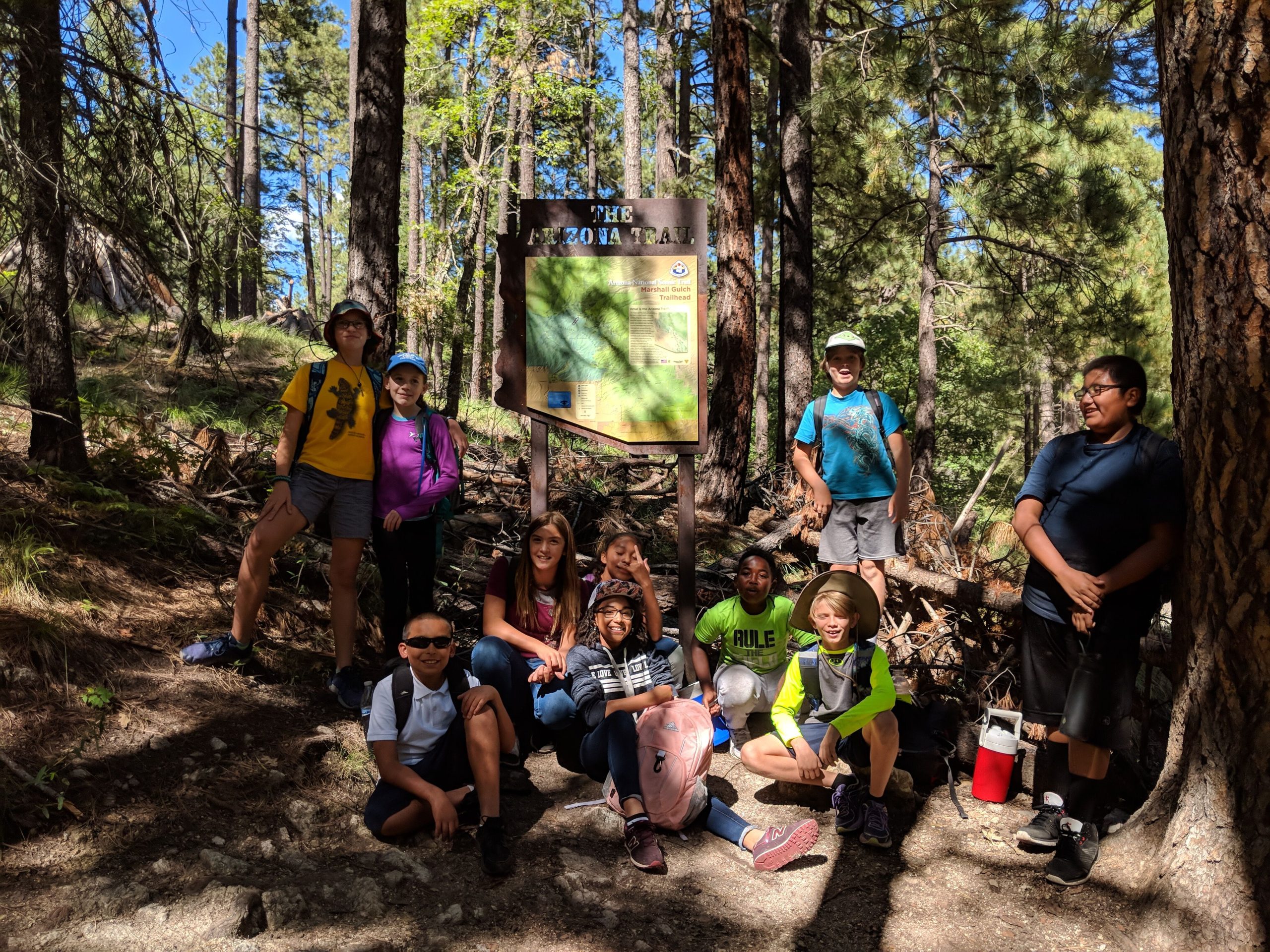
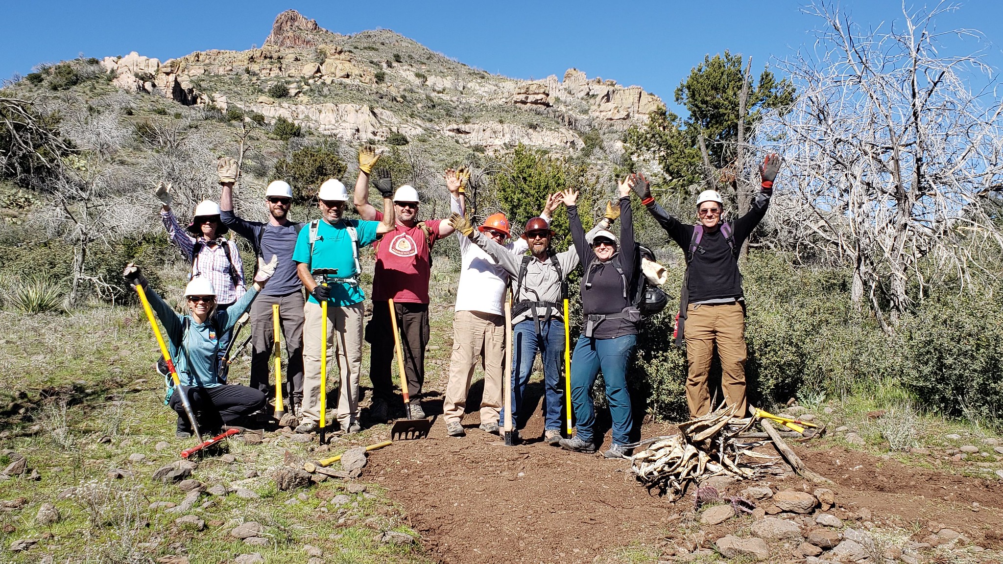
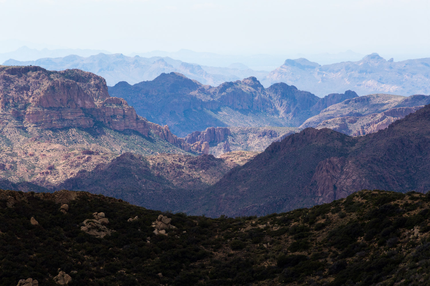
Passage 20 ascends from Theodore Roosevelt Lake into the Four Peaks Wilderness. The trail traverses high ridges with significant elevation gains and panoramic views of the Superstition Wilderness, Four Peaks, Roosevelt Lake, and Apache Lake.
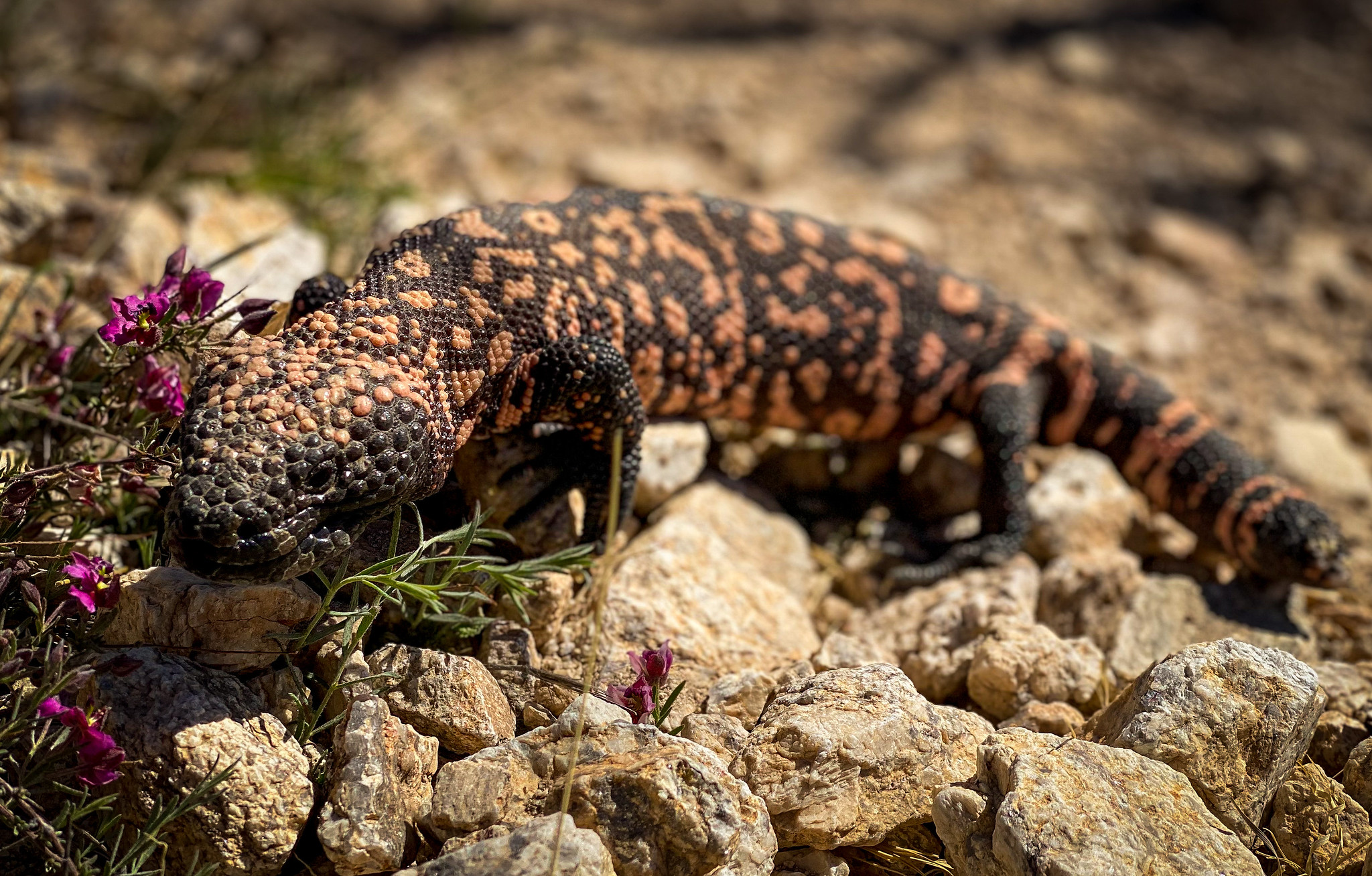
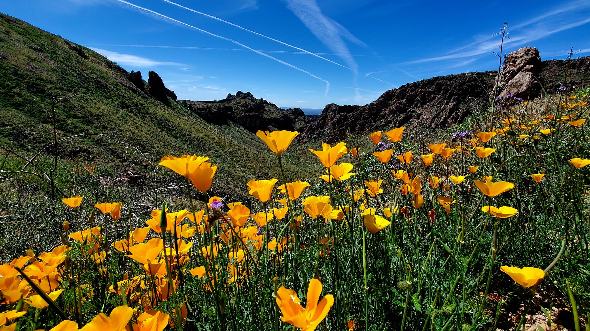
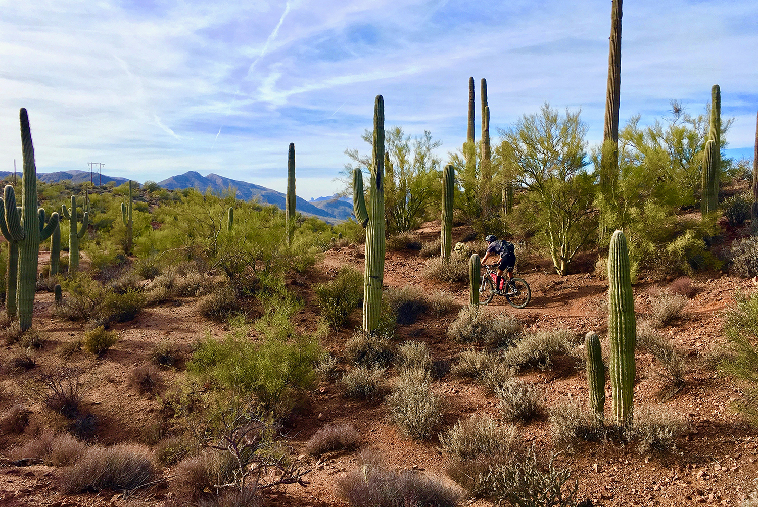
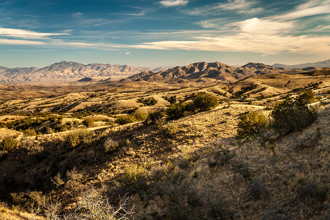
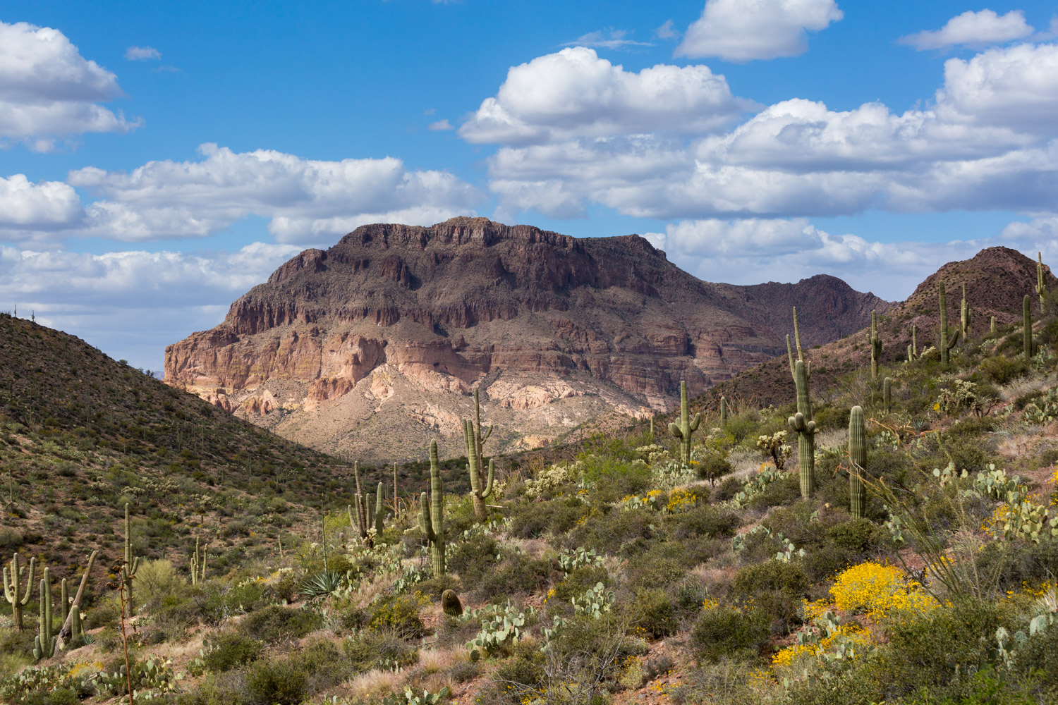
This route begins with a steep ascent overlooking Theodore Roosevelt Bridge. On the way up, the trail follows a well maintained singletrack that winds its way across rocky switchbacks, up scenic ridgelines, and through grassy hillsides, lined with desert succulents, shrubs, wildflowers, and a variety of cacti.
Within the Four Peaks Wilderness, the trail levels off and gradually traces its way along the foothills of Four Peaks – a single, prominent mountain within the Mazatzal Range with four distinct peaks that can be seen from great distances.
Difficulty
- Difficult
Season(s)
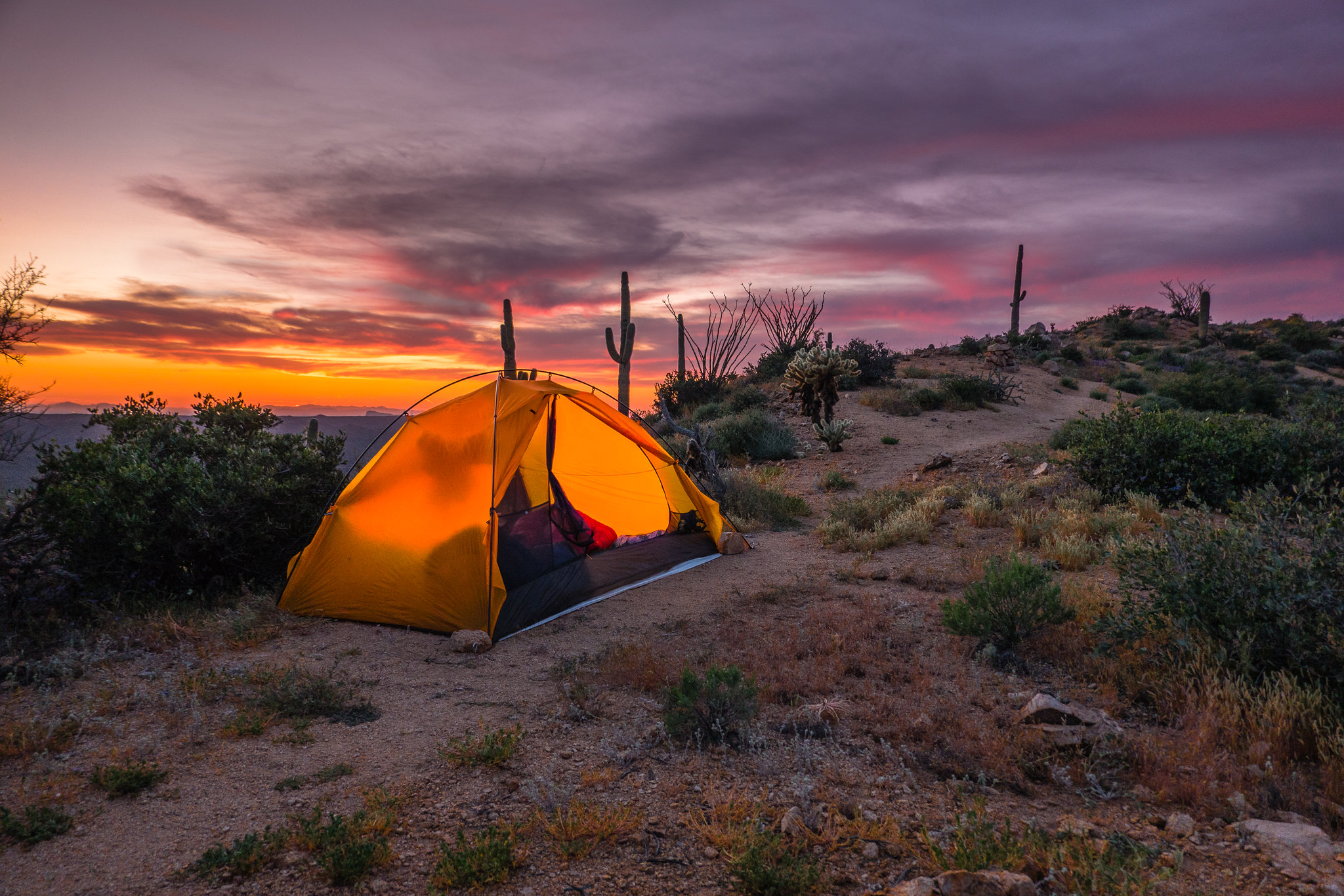
All year. Snow can be present at higher elevations after winter storms and lower elevations can be quite warm in summer
Water
Water can be found at Roosevelt Lake and usually at Shake Spring and Pigeon Spring. Check the online Arizona Trail Water Report for current information at https://aztrail.org/explore/water-sources/.
Notes/Warnings
- All water along this passage should be purified prior to use.
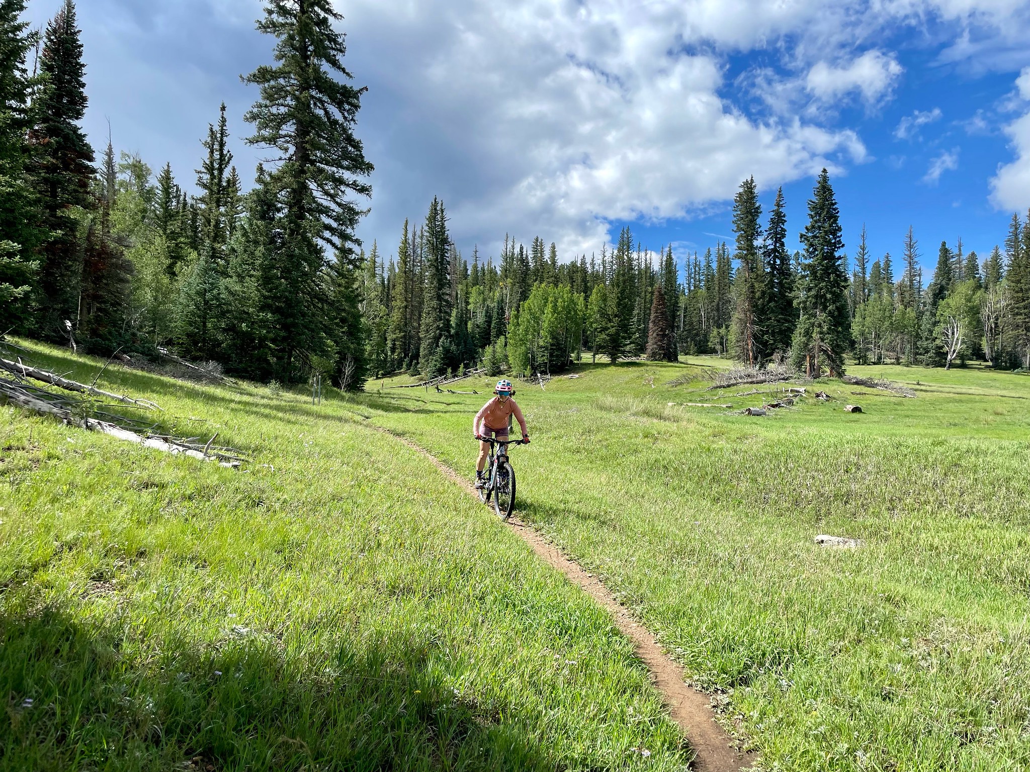
- Mountain bikes are prohibited in the Four Peaks Wilderness.
Resources
- Map of Passage 20
- USGS Topographic Maps: Theodore Roosevelt Dam and Four Peaks
- Tonto National Forest map.
- Four Peaks Wilderness map.
- BLM Information Center maps.
For more information
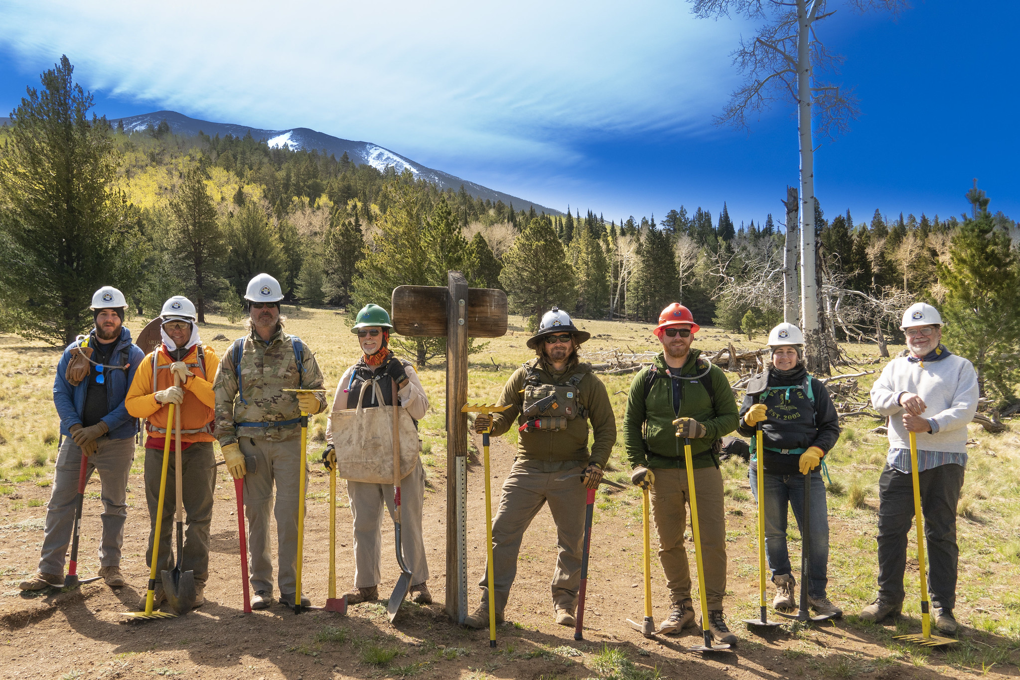
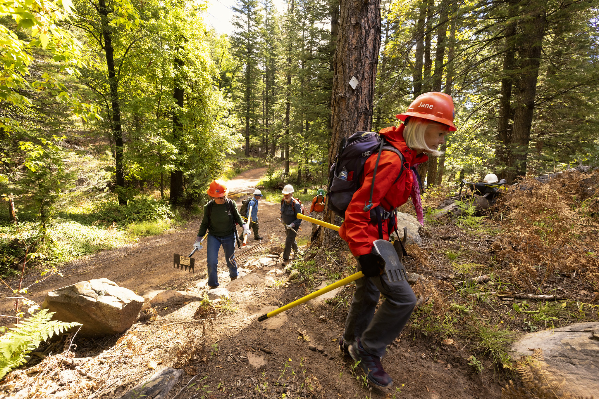
- The Passage Steward
- Tonto National Forest, Tonto Basin Ranger District, 28079 N. AZ Hwy 188, Roosevelt, AZ 85545 (602) 225-5395.
- BLM Information Center (602) 417-9300.
